

The Global Positioning System (GPS) has become a fundamental part of everyday life, providing precise location, velocity, and time synchronization for users on land, at sea, and in the air. Originally developed by the U.S. Department of Defense for military applications, GPS was opened up for civilian use in the 1980s and has since revolutionized how we navigate and interact with the world.
How GPS Works: The Space-to-Earth Connection
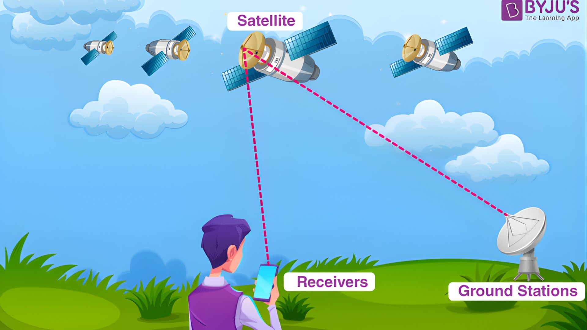
GPS operates through a network of more than 30 satellites orbiting Earth at an altitude of about 12,000 miles. Each satellite continuously transmits radio signals containing its exact position and the precise time the signal was sent. Through a process called trilateration:
- A GPS receiver (such as your smartphone) picks up signals from at least four satellites.
- By measuring how long it takes each signal to reach the receiver, the device calculates its distance from each satellite.
- The intersection of these distances reveals your precise 3D location—latitude, longitude, and altitude.
The Three Segments of GPS
According to the official U.S. government GPS site, the system consists of:
- The Space Segment: The constellation of satellites orbiting above Earth.
- The Control Segment: Ground stations, operated by the U.S. Space Force, that monitor and manage the satellites.
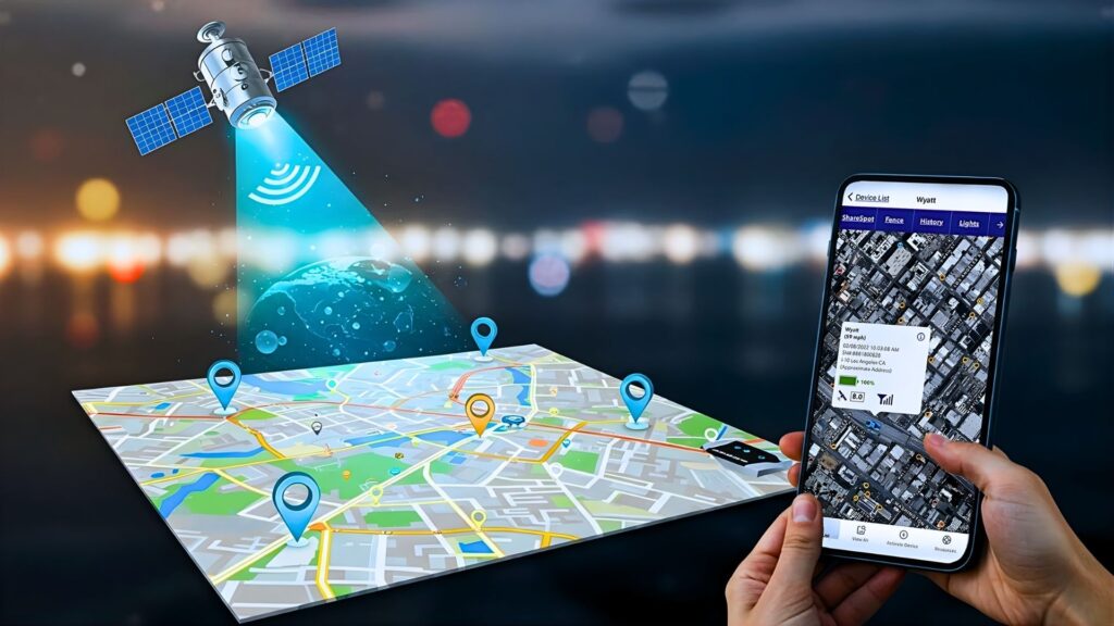
- The User Segment: Millions of GPS receivers in phones, vehicles, shipping, and tracking devices worldwide.
Modern Applications of GPS
GPS technology now extends far beyond simple navigation:
- Precision Agriculture: Farmers use GPS to map fields and guide automated tractors, optimizing planting and reducing waste.
- Financial Markets: Banking systems depend on GPS satellites’ atomic clocks to timestamp transactions with split-second accuracy.
- Disaster Relief: Emergency services rely on GPS to locate callers and coordinate rescue efforts during floods, wildfires, and other crises.
- Scientific Research: Geologists monitor tectonic plate movement and predict volcanic activity using high-precision GPS.
The Future: Multi-GNSS Navigation
While GPS is the American system, it is part of a larger group called GNSS (Global Navigation Satellite Systems). Today’s devices often combine GPS with other networks—Europe’s Galileo, Russia’s GLONASS, and China’s BeiDou—to ensure pinpoint accuracy even in densely built-up urban areas.
From everyday navigation to precision science and emergency response, GPS and its global counterparts continue to shape the way we move, communicate, and discover our world.
By Tom Solomon Iboro.